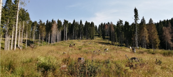
The identification of the pilot area and of the pilot sites was carried out through a reconnaissance of the forest areas damaged by storm Vaia present in the municipality of Gallio.
From this reconnaissance, the pilot area ‘IT4 – Mount Longara’ was identified, coinciding with forest parcels no. 17 and 53 for a total surface area of about 100 Ha.
Within this area are located the two pilot sites, where to realise:
– the cultivation areas (approx. 0.8 ha)
– the reforestation areas (about 4 ha)
– the areas for beekeeping activities
– the reservoirs for water collection and irrigation systems.
Pilot area IT4 – Mount Longara
The pilot area called IT4 – Mount Longara coincides with forest parcels no. 17 and 53 for a total area of about 100 ha. The area occupies a wide southern slope of Mount Longara – Hust, at an altitude between 1300 and 1600 m above sea level, overlooking the built-up area of the municipality of Gallio. During Cyclone Vaia, the pilot area was affected by extensive crashes, which occurred with greater intensity in the central part of the area.
In the central part of the IT-4 – Monte Longara area, two pilot sites (IT4-1 and IT4-2) have been identified, which are almost adjacent to each other and include a large part of the flattened crashed area falling within forest parcel no. 17. The location of the pilot sites is dictated above all by the need to identify areas with suitable morphological and accessibility characteristics for transitional cultivation activities.
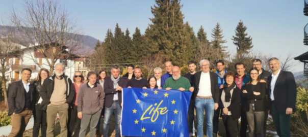
GALLIOLife VaiaMonte LongaraStrategia AgroforestaleTempesta Vaia